Travel Guide of Temperance River in United States by Influencers and Travelers
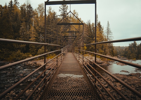
The Temperance River is a 39.2-mile-long river in northern Minnesota, the United States. It drains into Lake Superior along its north shore just south of Tofte.
Pictures and Stories of Temperance River from Influencers
Picture from Samantha Gades who have traveled to Temperance River
Plan your trip in Temperance River with AI 🤖 🗺
Roadtrips.ai is a AI powered trip planner that you can use to generate a customized trip itinerary for any destination in United States in just one clickJust write your activities preferences, budget and number of days travelling and our artificial intelligence will do the rest for you
👉 Use the AI Trip Planner
The Best Things to Do and Visit around Temperance River
Disover the best Instagram Spots around Temperance River here
1 - Long Peak Ranger Station
17 km away
Eagle Mountain is the highest natural point in Minnesota, United States, at 2,301 feet. It is in northern Cook County, in the Boundary Waters Canoe Area Wilderness and Superior National Forest in the Misquah Hills, northwest of Grand Marais.
View on Google Maps Book this experience
2 - Cascade River State Park
33 km away
Cascade River State Park is a state park near the northeastern tip of Minnesota, USA. The park is in a rocky and rugged location where the Cascade River descends to meet Lake Superior.
Learn more
3 - Tettegouche State Park
35 km away
Tettegouche State Park, pronounced “tet-a-gooch”, in the United States, is a Minnesota state park on the north shore of Lake Superior 58 miles northeast of Duluth in Lake County on scenic Minnesota Highway 61.
Learn more Book this experience

4 - Palisade Head
36 km away
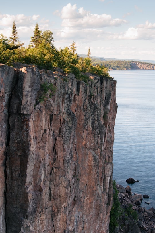
Palisade Head is a headland on the North Shore of Lake Superior in the U.S. state of Minnesota. It is within Tettegouche State Park but not contiguous with the rest of that park.
Learn more Book this experience
Book Tours and Activities in Temperance River
Discover the best tours and activities around Temperance River, United States and book your travel experience today with our booking partners
Where to Stay near Temperance River
Discover the best hotels around Temperance River, United States and book your stay today with our booking partner booking.com
More Travel spots to explore around Temperance River
Click on the pictures to learn more about the places and to get directions
Discover more travel spots to explore around Temperance River
🌉 Arch bridge spotsTravel map of Temperance River
Explore popular touristic places around Temperance River
